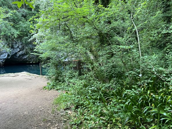
> The sources of the Livenza <
The sources of the Livenza River (the Gorgazzo, Santissima and Molinetto) are a site of significant geological, scientific and landscape interest, identified and protected as a Geosite by the Friuli Venezia Giulia Region in collaboration with the Department of Mathematics, Computer Science and Geosciences of the University of Trieste. All three arise at the base of the south-eastern slope of the Cansiglio – Cavallo karst massif, at an altitude of between 30 and 50 m above sea level, and form three branches that merge to generate the Livenza River.
These represent the main emergence points of an extensive aquifer and, at a national level, one of the most interesting karst systems in Italy because all the rainwater collects on the Cansiglio - Cavallo plateau and flows into the depths through the fractures and numerous caves. In particular, the spring of the Gorgazzo is the second deepest vauclusian spring in Italy at 222 metres below ground level, and is laid out over about 700 m of galleries, mostly vertical. Scuba diving, after a long period of prohibition, is now regulated by a resolution of the Municipal Council n. 28 dated 16.04.2014.
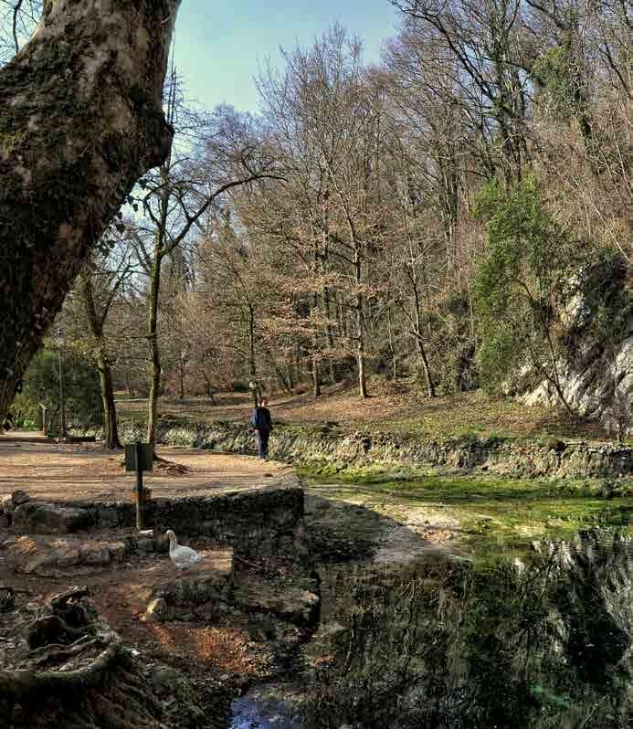
> The Gorgazzo <
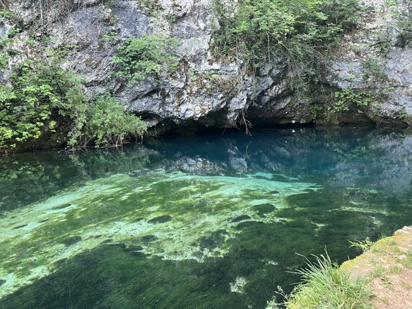
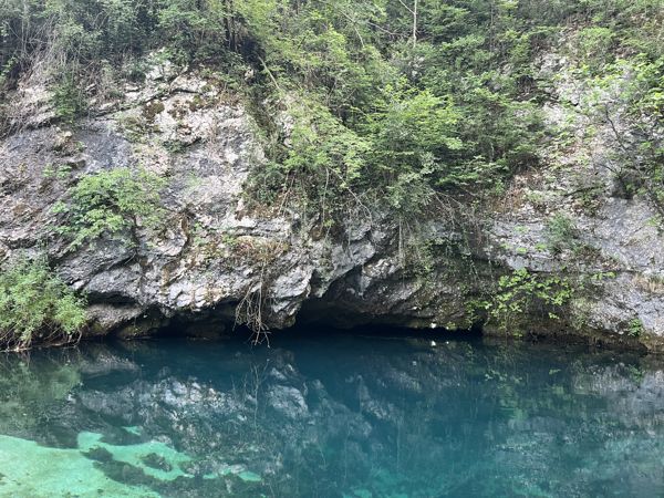
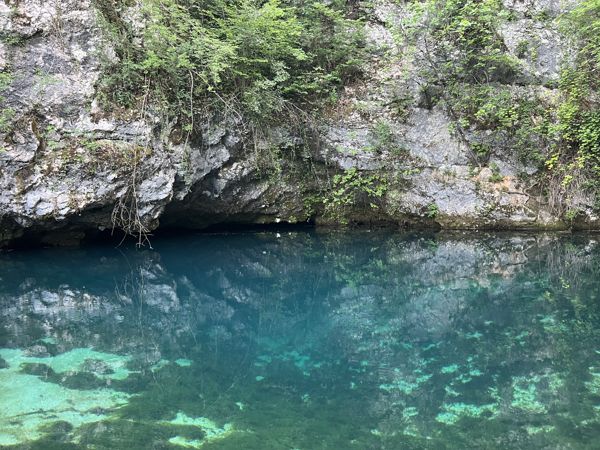
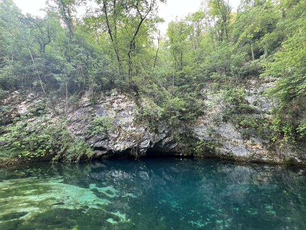
The Gorgazzo, hidden among trees and rocks, is locally called “el Buso” and its clear and icy waters with a blue colour and countless reflections were described by Marinelli in 1877 as follows: “Take the colour of emerald, that of turquoise, that of beryl, throw them into a sea of lapis lazuli, so that everything merges and at the same time preserves its own originality and you will have the colour of that piece of liquid sky called the Gorgazzo!”.
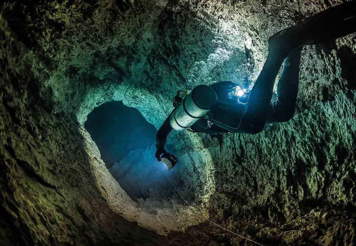
Very technical and demanding underwater exploration efforts have been conducted by many cave divers from various national and international groups. The first dive, of which there is certain news, was carried out by a cave diver from the Circolo Idrologico Speleologico Friulano on 13th December 1964 to a depth of minus 21 m. In May 1967 G. Cobol reached a depth of -64 m, surpassed that same year by W. May, C. Hayes and S. Piccini, who reached a depth of -80 m. In 1987 L. Russo and M. Martini descended to -108 m. On 31st December 1992 the dives of the Swiss J.J. Bolanz and his team culminated reaching a depth of -131 m. On this last occasion L. Casati explored a branch between -90 and -104 m. Casati returned with his team in February 2008 and reached a depth of -212 m, making the Gorgazzo the deepest siphon cavity in Italy at the time. In 2019, the Polish cave diver K. Starnawski explored up to -222 m, leaving large galleries ahead of him.
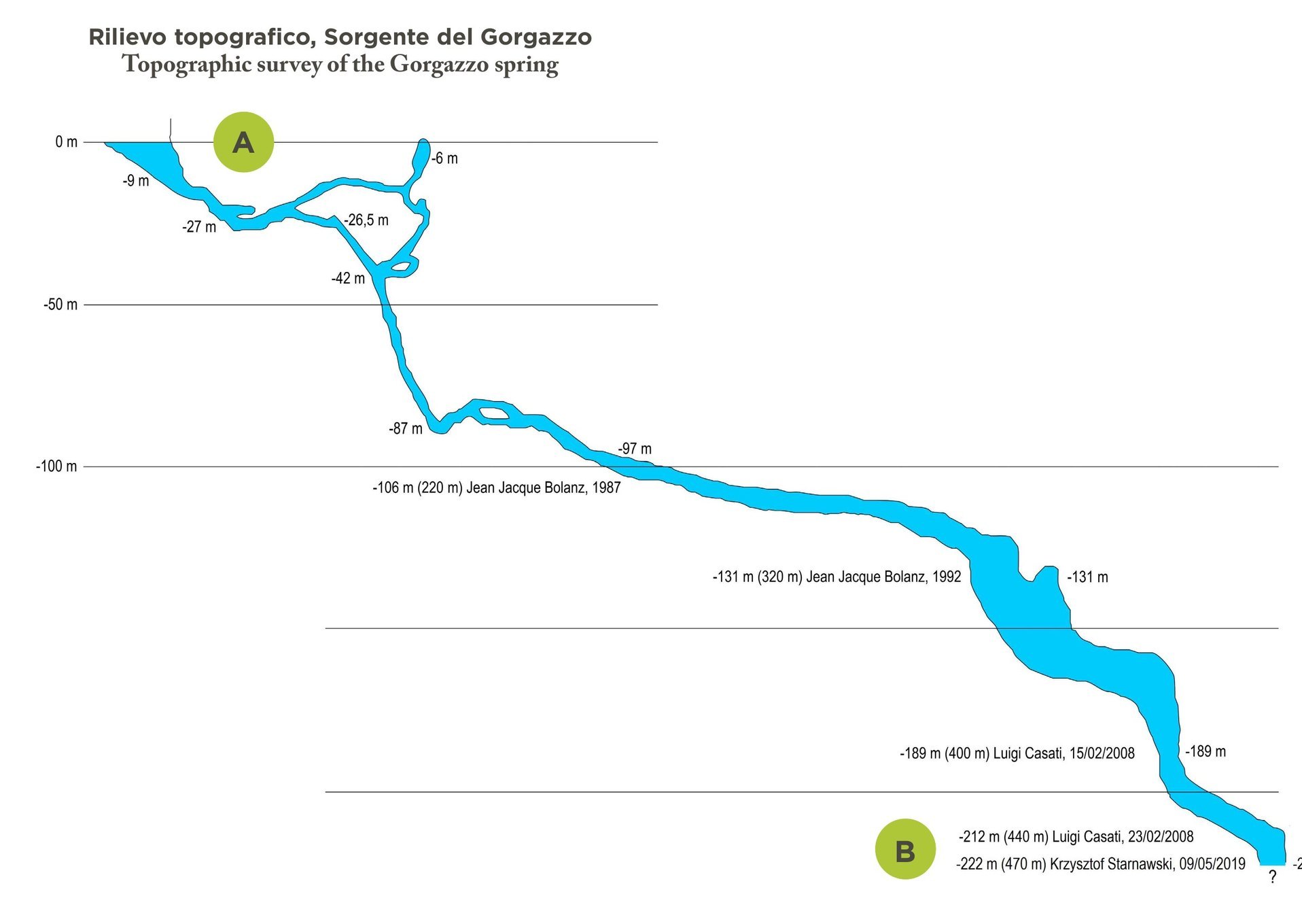
The Gorgazzo in section: −222 metres
The spring is a flooded cave (sump) that descends to −222 m below the water surface, with about 470 m of underwater passage.
The survey sums up the stages of exploration: J.J. Bolanz at −106 m (1987) and −131 m (1992), Luigi Casati at −189 m and −212 m (2008), Krzysztof Starnawski at −222 m (2019), where the galleries still continue.
Survey from the panel «The Gorgazzo spring» · Municipality of Polcenigo, project by Divulgando Srl; explorations J.J. Bolanz, L. Casati, K. Starnawski
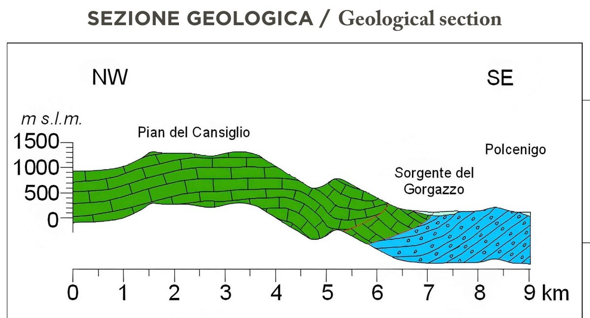
Why the water comes out right here
The NW–SE section across the Cansiglio shows the karstified limestones of the plateau (in green) that dip beneath the low-permeability conglomerates of the plain (in blue), separated by the Polcenigo–Maniago Line.
Water seeping into the plateau flows through the limestones until it meets this barrier and is forced to rise: here, at the foot of the mountain, the sources of the Livenza are born. The Gorgazzo has an irregular regime, with sudden floods that subside within a few hours.
Section from the panel «The Gorgazzo spring» · Municipality of Polcenigo, project by Divulgando Srl
Videos and documentaries
Video stories and mini documentaries filmed on site.
Towards the bottom of the Gorgazzo
Scroll to go down ↓
All explorations
- −58 m1962-63Speleosub franceseNotizia non certaFonte: Catasto Speleologico Regionale FVG
- −21 m13 dicembre 1964Cave diver of the Circolo Speleologico Idrologico FriulanoFirst dive on recordSource: Polcenigo Guide 2026
- −64 mMaggio 1967G. CobolSource: Polcenigo Guide 2026
- −80 m1967W. May, C. Hayes, S. PicciniThey leave a plaque at the bottom reachedSource: Polcenigo Guide 2026
- −90 m1974A. Fileccia, R. CarbonereFirst major survey of the spring; Italian record at the timeFonte: Catasto Speleologico Regionale FVG
- −108 m1987L. Russo, M. MartiniSource: Polcenigo Guide 2026
- −131 m31 dicembre 1992J.J. Bolanz and his teamL. Casati explores a side branch between −90 and −104 mSource: Polcenigo Guide 2026
- −212 mFebbraio 2008L. Casati and his teamThe Gorgazzo becomes Italy’s deepest flooded caveSource: Polcenigo Guide 2026
- −222 m2019K. StarnawskiLo speleosub polacco lascia davanti a sé ancora grandi gallerieSource: Polcenigo Guide 2026
Images · The Gorgazzo
5 photos · Photo Divulgando Srl · May 2025. Tap a photo to enlarge it.