
The deep time of Polcenigo
When did the rocks of this area form? A simplified time scale, from the tropical seas of the Jurassic to today’s springs.
The rocks that shape the land
Each colour is a different rock, formed in a different age. Tap the map or the legend to discover what lies beneath your feet, or watch how the landscape was built, from the oldest rock to the youngest.
Data: Carta geologica del Friuli Venezia Giulia 1:150.000 – Regione Autonoma Friuli Venezia Giulia, Servizio geologico (servizio WFS consultabile su EAGLE FVG). Unità raggruppate e geometrie semplificate per la divulgazione; la carta regionale non comprende il versante veneto del Cansiglio. Rilievo ombreggiato © Esri.
If 4.6 billion years were 24 hours…
Let’s squeeze the whole history of the Earth into a single day. The rocks of Polcenigo only appear in the last hour, shortly before midnight.
- 00:00:00The Earth forms4567 Ma
- 04:33:22The first traces of life3700 Ma
- 23:11:08The reef of the Polcenigo Limestones155 Ma
- 23:19:01The dinosaur leaves its footprint130 Ma
- 23:39:11Dinosaurs and rudists die out66 Ma
- 23:59:54Homo sapiens appears300,000 years ago
Where we are, and when
Tap an event on the scale, or scroll through the cards: the cursor moves through time.
-
200–66 Ma · Jurassic–Cretaceous
A tropical sea: the Friulian Platform
Between the Jurassic and the Cretaceous, today’s Friuli Venezia Giulia was a broad marine carbonate platform at tropical latitudes. To the west lay the Ligurian-Piedmont Ocean, up to 3,000 metres deep. Neither the Alps nor Italy existed yet.
In the Earth-day: 22:56:56
Go to the geosite →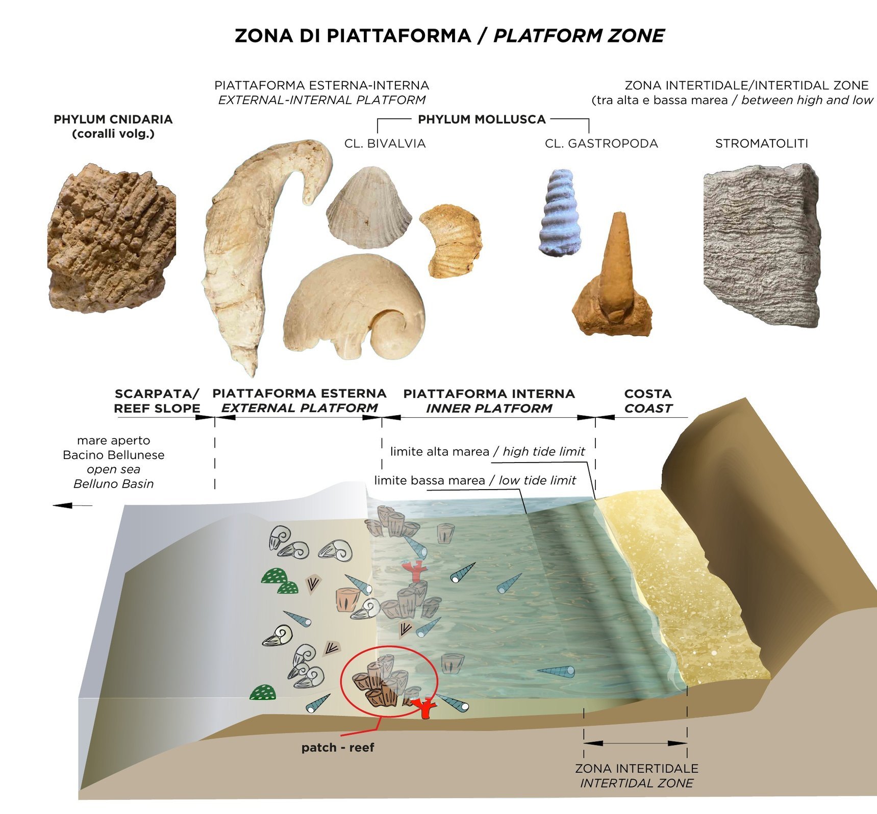
Drawing by Barbara Buttignol -
155–150 Ma · Jurassic
The Polcenigo Limestones: the coral reef
In the Late Jurassic, between 155 and 150 million years ago, corals, sponges and calcareous algae grew along the western edge of the platform: a true reef. These are the oldest rocks exposed at Polcenigo.
In the Earth-day: 23:11:08
Go to the geosite →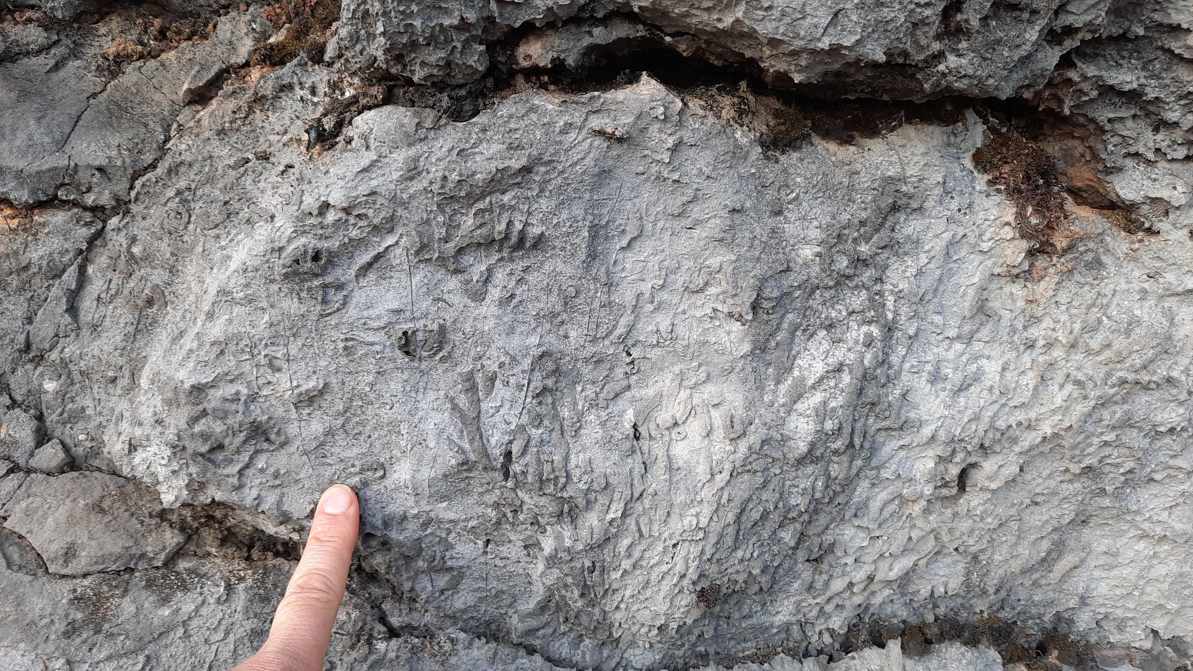
Photo Barbara Grillo -
143–100 Ma · Cretaceous
The Cellina Limestones: lagoons and stromatolites
From the end of the Jurassic to the mid-Cretaceous the sea level dropped and the platform emerged at times. Stromatolites grew on tidal flats and in lagoons, alongside fish and isolated rudists; the Faierazzo Bituminous Limestones preserve plant remains.
In the Earth-day: 23:14:55
Go to the geosite →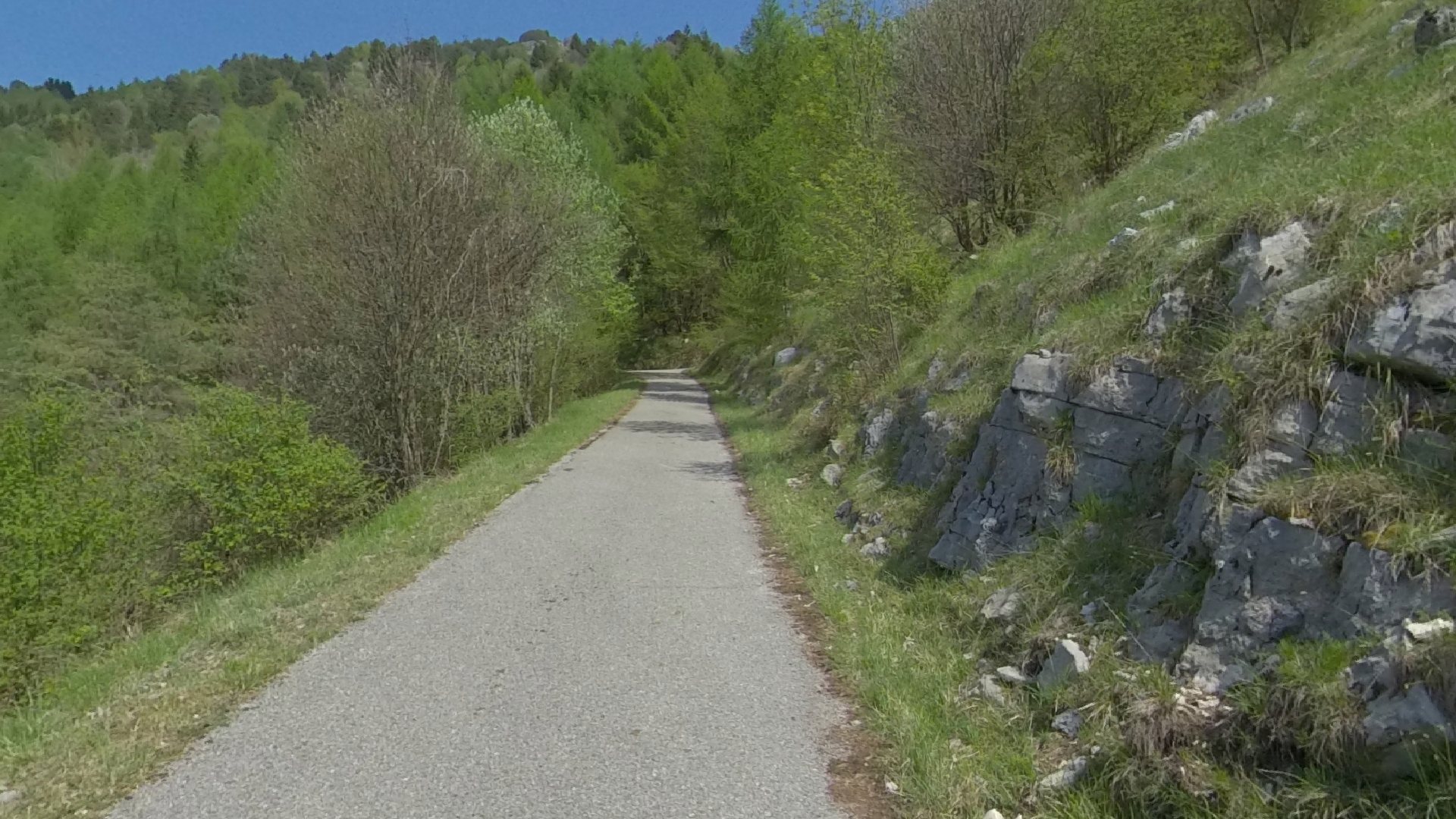
Photos and photospheres Divulgando Srl -
130 Ma · Cretaceous
The dinosaur footprint
About 130 million years ago a theropod dinosaur walked on two legs across the emerged lands of the platform, leaving its footprint in the limy mud: this is “Beppino”, discovered in 2018 in the woods of Polcenigo.
In the Earth-day: 23:19:01
Go to the geosite →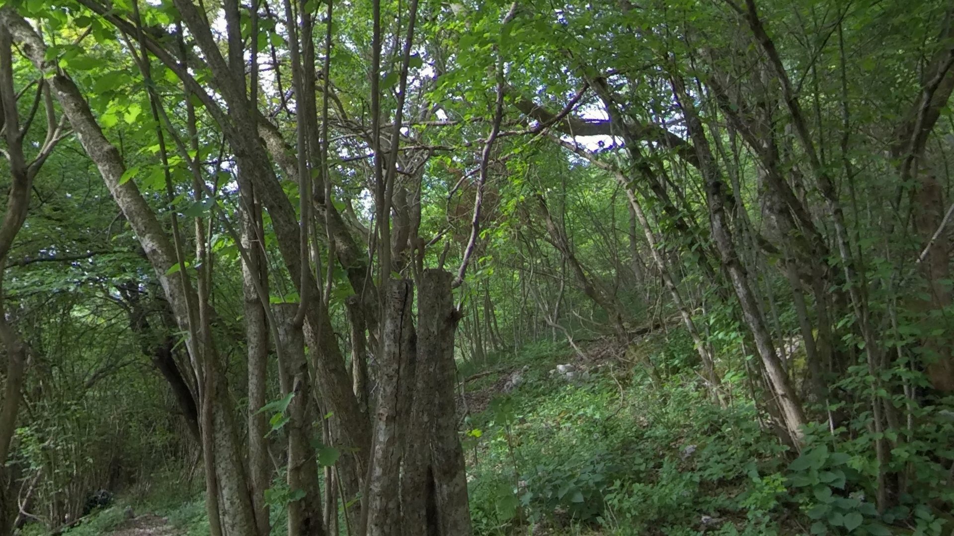
Photos and photospheres Divulgando Srl -
100–95 Ma · Cretaceous
The sea returns: the rudists of Col dei S’cios
In the Cenomanian, between 100 and 95 million years ago, the sea flooded the platform again. Large banks of rudists – reef-building bivalve molluscs – formed: the base of the Monte Cavallo Limestone Formation.
In the Earth-day: 23:28:28
Go to the geosite →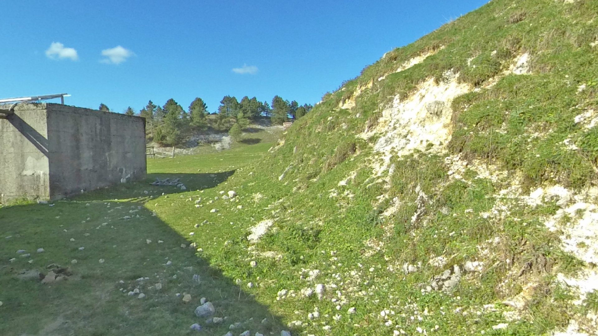
Photos and photospheres Divulgando Srl -
66 Ma · Paleogene–Cretaceous
The last mass extinction
At the end of the Cretaceous, 66 million years ago, dinosaurs, rudists and about 75% of living species disappeared. The Mesozoic ended and the Cenozoic – the age of mammals – began.
In the Earth-day: 23:39:11
Go to the geosite → -
23 Ma to today · Neogene–Quaternary
The Pre-Alps rise
The push of the African plate against the European plate folded and lifted the platform rocks, which today lie at over 2,000 metres. The Cansiglio–Cavallo massif was thrust over the plain along the Polcenigo–Maniago Line, which is still slowly moving today.
In the Earth-day: 23:52:45
Go to the geosite →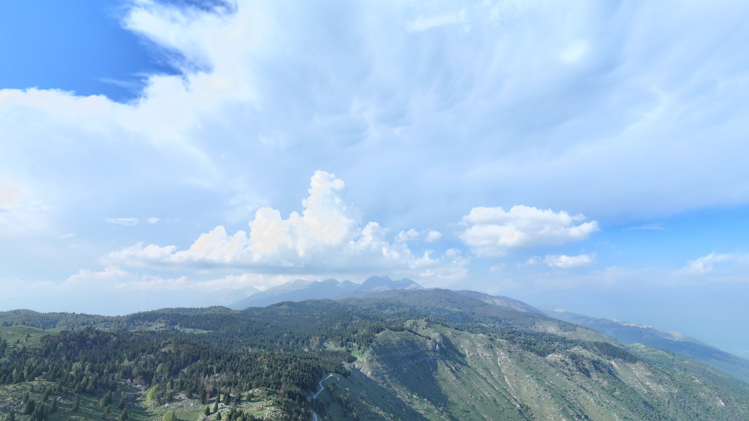
Photos and photospheres Divulgando Srl -
2.58 Ma to today · Quaternary
Ice, karst and conglomerates
In the Quaternary, ice ages alternated with warm periods. Slightly acidic rainwater dissolved the limestone, creating the dolines, abysses and caves of the Cansiglio. At the foot of the mountains, rivers laid down gravels that cemented into conglomerates.
In the Earth-day: 23:59:11
Go to the geosite →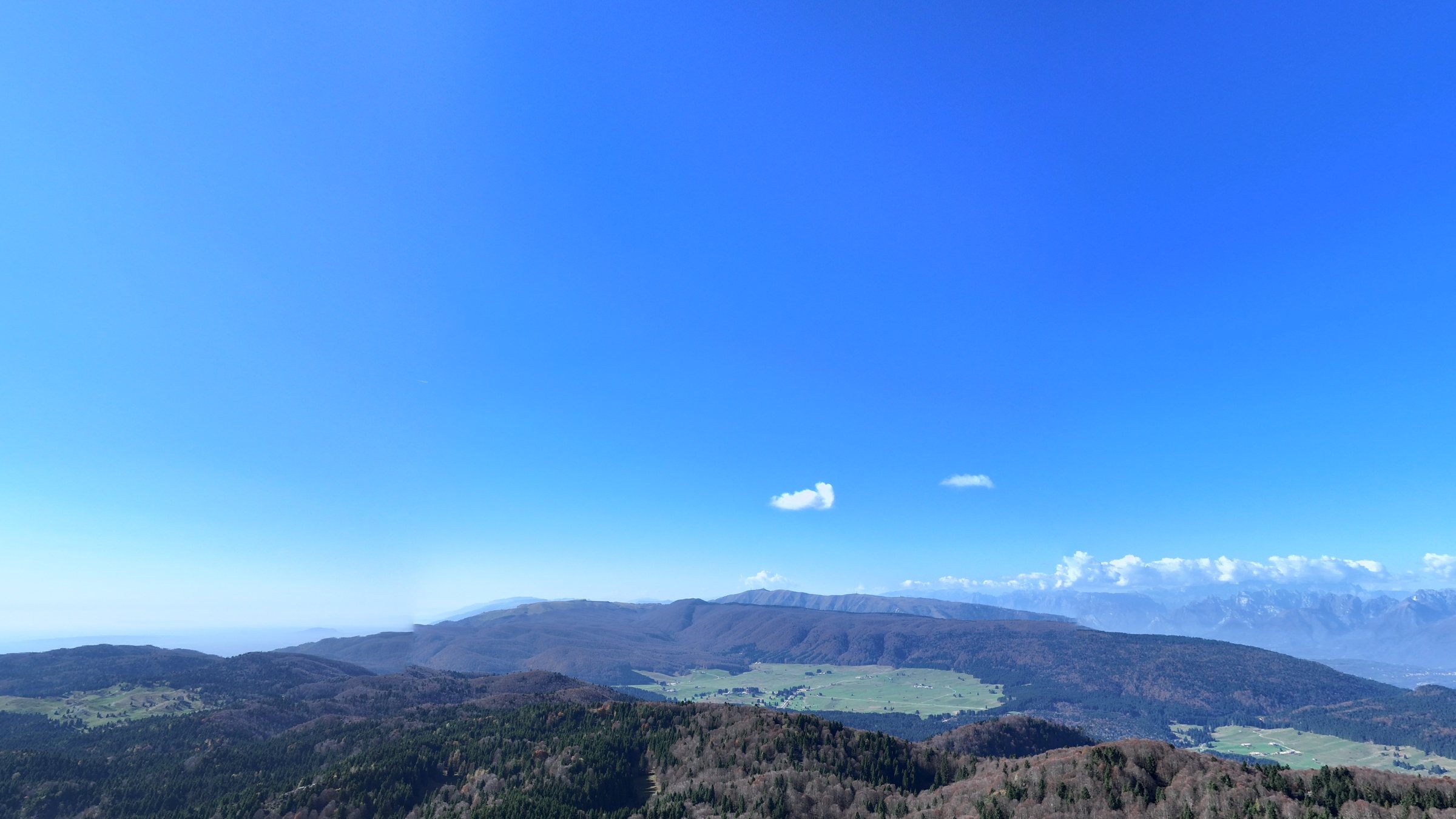
Photos and photospheres Divulgando Srl -
today · Quaternary
Today: the sources of the Livenza
Water seeping into the karst limestones of the Cansiglio flows underground until it meets the less permeable conglomerates and rises to the surface: this is how the Gorgazzo, Santissima and Molinetto springs are born. Geological time goes on, before our eyes.
Go to the geosite →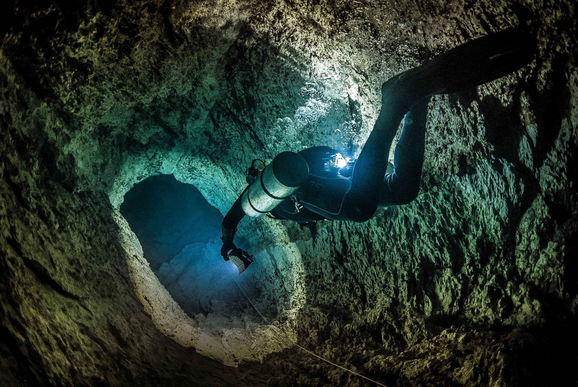
Photo K. Starnawski, 2019
The rock column
Like the pages of a book, the oldest layers lie at the bottom and the youngest on top. Each rock tells of a different environment: the reef, the lagoon, the return of the sea, the rivers flowing down from the mountains.
Simplified diagram, thicknesses not to scale. The colours match those used in the simplified geological map of the area.
- Gravels and conglomeratesQuaternaryPlain and foothills: low permeability, they force spring water to rise.
- Monte Cavallo LimestoneLate Cretaceous · from the CenomanianRudist banks of Col dei S’cios and Costa Cervera.
- Cellina LimestonesLate Jurassic – mid-CretaceousLagoons and tidal flats: stromatolites, fish, the dinosaur footprint.
- Polcenigo LimestonesLate JurassicThe ancient reef of corals, sponges and algae.
Sources: “Polcenigo – Treasure chest of geodiversity” guide and the project’s information panels (Comune di Polcenigo); unit ages from the Geological Map of Friuli Venezia Giulia (Autonomous Region FVG – Geological Survey); period boundaries according to the International Chronostratigraphic Chart (ICS). Ma = million years.