
> Bus de la Lum <
Start of the “Sinkholes and abysses” trail
> Cansiglio sinkholes and abysses <
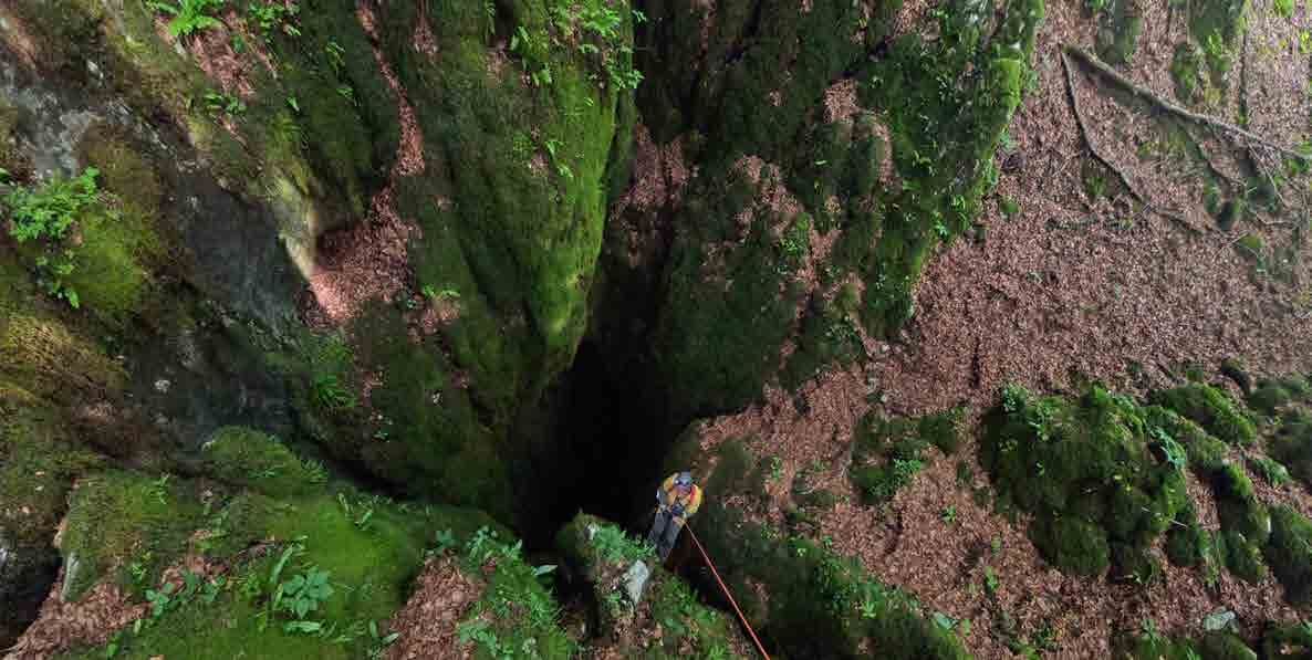
In the Friuli Venezia Giulia Regional Register of Geosites and Geoparks (CaRGeo), the area between the Bus de la Lum and the Candaglia road, which falls within the municipalities of Polcenigo and Caneva between 1,030 m and 1,200 m above sea level, is recognised as the “Cansiglio Sinkholes and Abysses” Geosite of National Interest. This area is of considerable geomorphological and hydrogeological importance, and representative of the Cansiglio – Cavallo Massif. It is characterised by a concentration of Karst depressions, called sinkholes (or dolines), and abysses. The latter are deep, vertical cavities with open-air access shafts. Among the best known are the Bus de la Lum (15/153FR, 186 m deep) and the Abisso del Col della Rizza (904/410FR), at 794 m the deepest cave in Western Friuli. Influenced by faults, these shafts have a predominantly vertical development, with similar morphologies while some sections have important numbers of concretions that are amongst the most beautiful on the entire mountain. The surface landscape consists primarily of Karst blocks and funnel- or bowl-shaped sinkholes, often aligned along fractures. They result from the chemical dissolution of Cretaceous limestones containing rudists. These were molluscs with cone-shaped shells. In the Veneto region of Cansiglio, the external morphology is less rugged because the “Scaglia”, a marly rock with flint that covers the underlying limestone and erodes more slowly, is still present.
Cansiglio contains around a hundred caves that drain its waters into the area of Polcenigo and Caneva. Tracer tests conducted in 2008 and 2016 by the Universities of Ferrara and Bologna focused on the Col della Rizza Abyss and demonstrated the hydrological connection between this geological site and the Santissima and Molinetto springs, which, together with the Gorgazzo, emerge in Polcenigo and Caneva to form the Livenza River.
Rainwater from the mountain takes just over a week to reach the area at the foot of the mountain along various very long and tortuous routes below ground.
> The “Doline e abissi” trail <
The “ e abissi del Cansiglio” geological trail was created with the aim of raising awareness and promoting this geological site of national importance, passing close to the most important caves. Its circular route winds along trails and forest roads. 5.5 km long, it has an elevation gain of approximately 250 m. It begins at the Bus de la Lum picnic area in the Pian Cansiglio and follows the short trail that enters the forest directly from there, either counterclockwise or clockwise, following the Slipari trail and then the “O” trail that passes close to the Abisso del Col della Rizza. The latter can also be reached from Crosetta along the Candaglia gravel track after approximately 3.5 km. The trail is suitable for everyone, but requires caution as the Karst environment features rocky crevasses, potholes, and funnel-shaped sinkholes. It is essential to stay on the marked trails, as some of the caves are not fenced. Caution and appropriate behaviour during the hike are essential.
> Bus de la Lum – Pozzo dei Bellunesi <
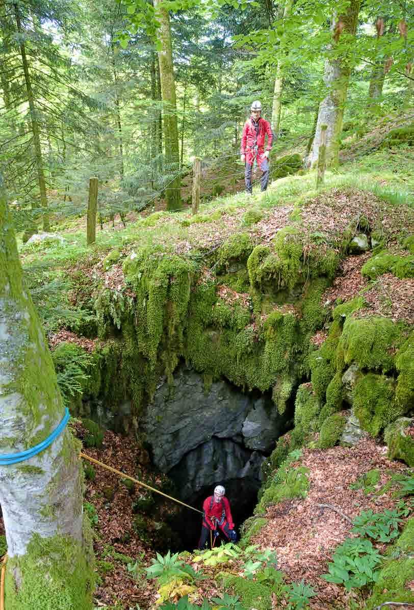
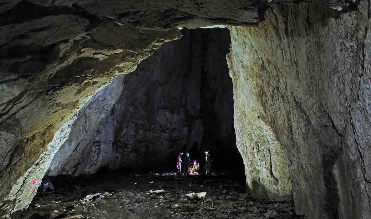
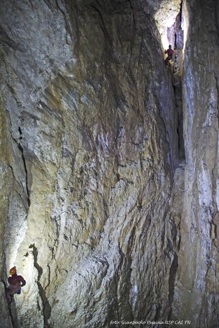
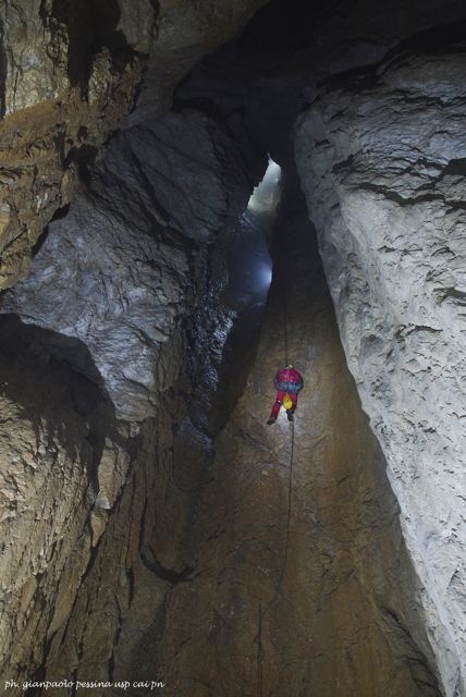
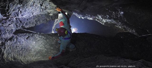
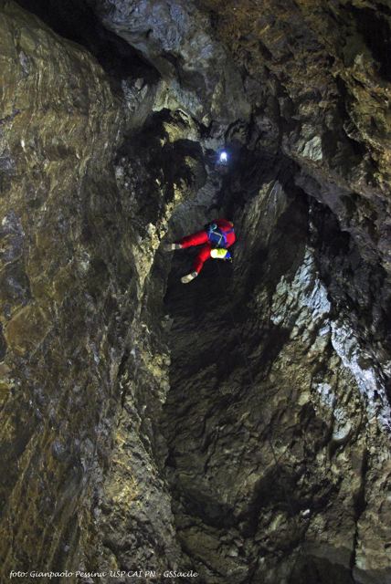
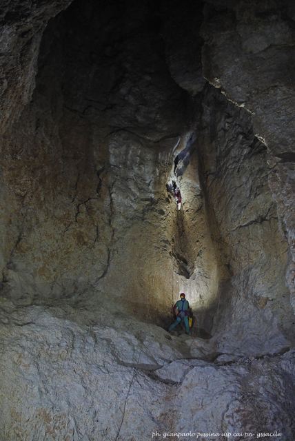
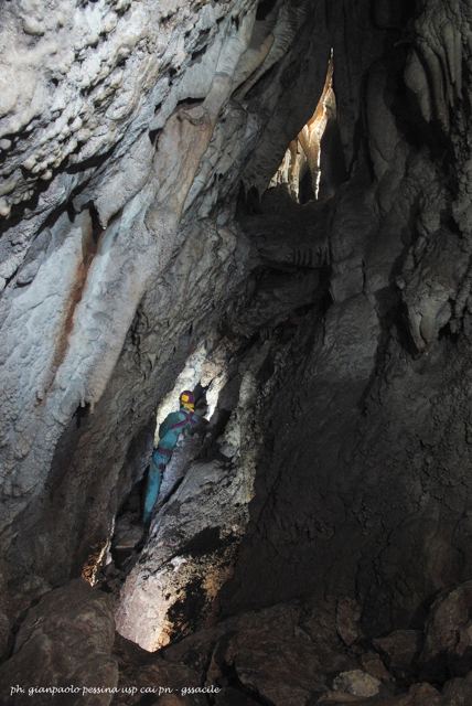
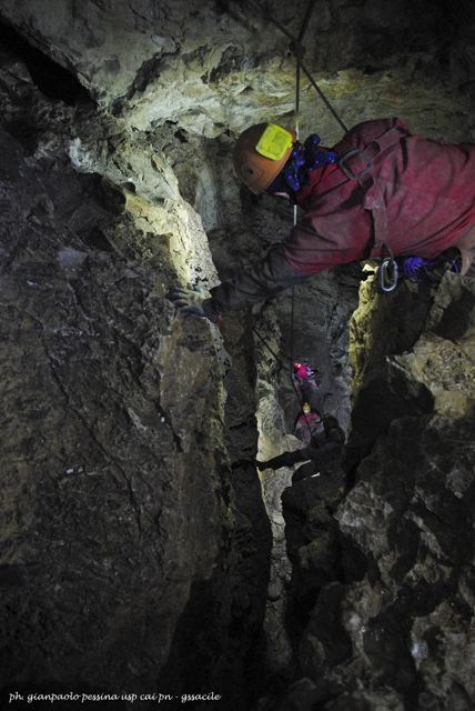
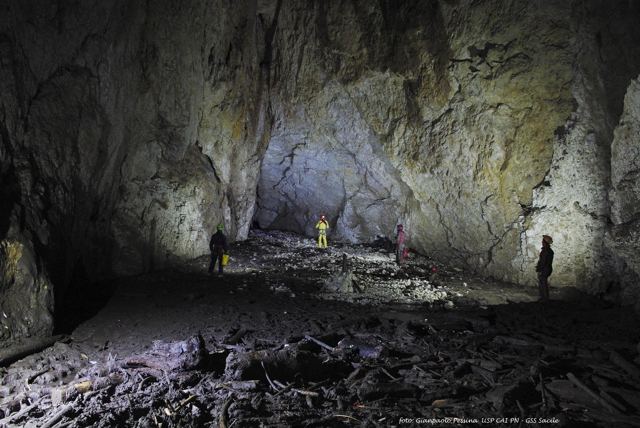
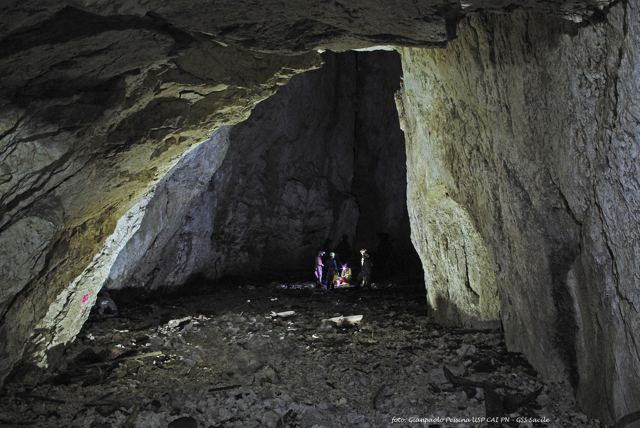
The Bus de la Lum opens at an altitude of 1,030 metres a.s.l. in the Friulian part of the basin, forming a wide, elliptical funnel among the tall trees of the forest. The name “Lum” (“light”) derives from ancient legends that told of flames spotted near the chasm, attributed to fantastic creatures or, more realistically, to will-o’-the-wisps produced by the decomposing carcasses of animals that had fallen into it. It is a vertical cavity 186 metres deep, formed by the union of two abysses, with a planimetric length of 718 metres. One is the main one, now fenced off, which was explored by the Trieste-based C.G.E.B. Trieste in 1924, while the other was discovered by a Belluno-based team in 1981 near the original abyss and was subsequently named the “Pozzo dei Bellunesi”. Initial interest in the Lum began in 1901 when the engineer Luigi Marson launched a sounding line into the chasm, recording a depth of 460 meters. This incorrect estimate made the abyss the deepest in the world, obviously arousing curiosity and interest. This measurement was later reduced to 195 m. At the bottom of the cave, a perennial waterfall is fed by icy waters originating from a narrow gorge-like passage known as the “Ramo dello Scoiattolo”. The stream sinks into the debris deposits and is eventually absorbed within the “Salone della Lanterna”. The Bus de la Lum is a cavity which is historically and sadly notable for events related to the Second World War, when, in the final months of the conflict, soldiers and civilians were thrown into it. At least 28 bodies were recovered in the 1960s and were buried in the Caneva cemetery.
Inside Bus de la Lum
11 photos · Photo Pessina, Photo Pessina – USP, Photo Simone Grillo. Tap a photo to enlarge it.
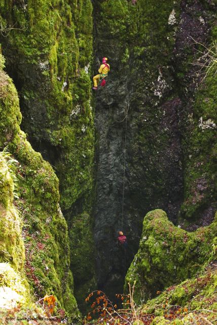
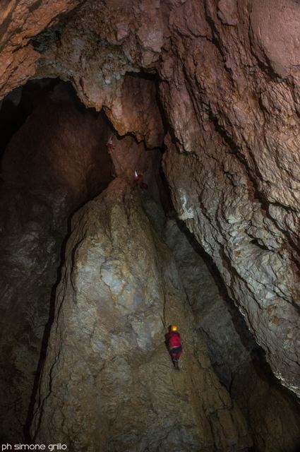
Bus de la Lum – start of the “Doline e abissi” trail
Site coordinates.
Driving directions