A “young” abyss: found in 2007–2008 and cleared of debris, it now descends to −108 m and is still being explored.
Cadastre no. 75894589 FRComune di Polcenigo
1086m a.s.l. · entrance
−108m · depth
272m · total length
340 mfrom the Ring of the Abysses
What it looks like
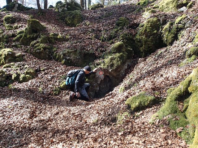
Narrow entrance on the steep edge of a .
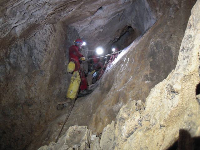
Pozzetto di 4 m, poi pozzi di 35, 15, 17 e 28 m.
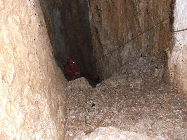
It ends in a sloping fissure over 20 m high with a muddy floor; a side branch with 44 m and 8 m shafts rejoins the main one.
Water and air
No hydrological data; in winter a strong inward draught is felt at the entrance.
History of the explorations
2008
Discovery and first survey (GS Vittorio Veneto, with the USP)
2009
Discovery of the side branch
2015
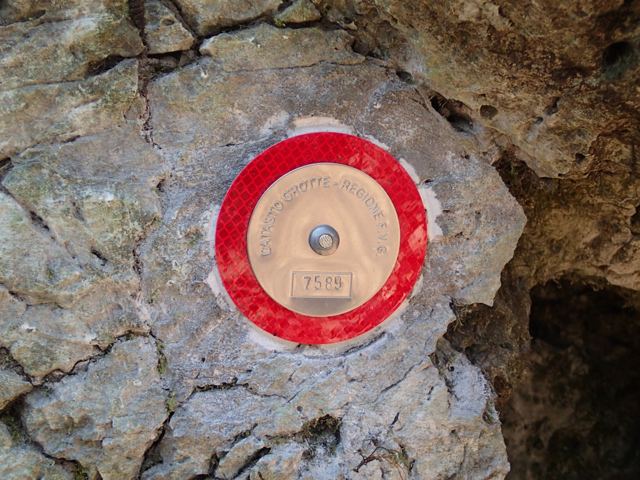
Targhettatura e posizione GPS (GS Sacile)
today
Photo gallery
Images · Abisso del Permesso
5 photos · Photo Costantino Bottoli, Foto Andrea Fersuoch, Foto Stefano Da Ros · fonte: FVG Regional Speleological Cadastre. Tap a photo to enlarge it.
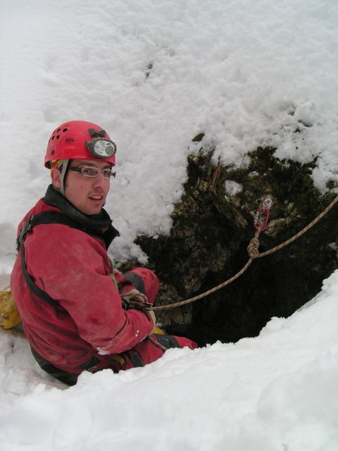
The entrance, with the cadastre numberPhoto Costantino Bottoli · FVG Regional Speleological CadastreThe entrancePhoto Andrea Fersuoch · FVG Regional Speleological CadastreInside the cavePhoto Stefano Da Ros · FVG Regional Speleological CadastreInside the cavePhoto Stefano Da Ros · FVG Regional Speleological CadastreThe plaque with the cadastre numberPhoto Costantino Bottoli · FVG Regional Speleological Cadastre