> Abisso del Gufo Reale <
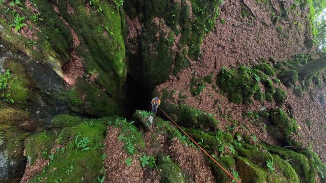
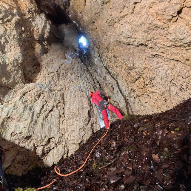
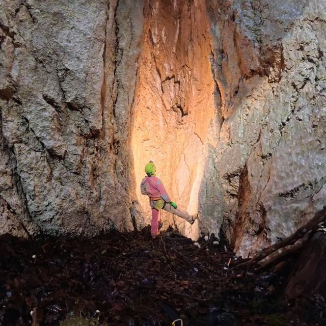
A 43 m shaft divided by a rock wall, with an ice-cemented debris cone at the bottom and an eagle owl nesting there.
From the guide
This is a vertical cavity, 50 metres deep and 17 metres long, which opens at an altitude of 1,077 metres a.s.l. with a wide entrance at the bottom of a steep sinkhole, a few minutes’ walk west from Sperlonga delle Do Boche. It consists of an abyss divided in two by a long rock diaphragm. At the bottom, where dripping water is intense, the steep debris cone is cemented by ice, created by the accumulation of snow. It was first mapped out in 1957 by speleologists from the C.G.E.B. - Società Alpina delle Giulie of Trieste, during an exploratory field trip involving the local caves in June of that year. Its name comes from the presence of an Eagle Owl’s nest site, still present in the least exposed part of the cave. It is recommended not to leave the trail unless you are an experienced caver and, in any case, to approach the edge of the abyss with caution, as it is unfenced.
What it looks like
- Entrance of about 10 × 7 m at the bottom of a steep .
- Pozzo diviso in due da un lungo diaframma roccioso.
- At the bottom, a debris cone cemented by ice formed from accumulated snow.
Water and air
At the bottom the dripping is very heavy.
History of the explorations
- 1957
Primo rilievo (CGEB)
- 1972
Update with plan and section (SAS)
- 2011
Posizione GPS e targhettatura (GS Sacile)
Abisso del Gufo Reale a 360°
Trascina per guardarti intorno, usa la rotella o due dita per avvicinarti. Su smartphone puoi anche muovere il telefono.
Alla base del pozzo d’accesso · Foto Divulgando Srl · giugno 2026
Images · Abisso del Gufo Reale
3 photos · Foto Divulgando Srl · giugno 2026. Tap a photo to enlarge it.